Remote sensing and satellite data analysis have transformed the way we understand and interact with our planet. From monitoring climate patterns to optimizing urban planning, these technologies provide unprecedented insights that drive smarter decision-making across industries worldwide.
The fusion of advanced satellite technology with sophisticated data analytics has opened new frontiers in environmental monitoring, disaster response, agriculture, and infrastructure development. As our world becomes increasingly interconnected, the ability to capture, process, and interpret data from space has become indispensable for addressing global challenges and creating sustainable solutions for future generations.
🌍 The Revolutionary Impact of Satellite Technology on Modern Life
Satellite technology has evolved dramatically since the launch of the first artificial satellites in the mid-20th century. Today’s constellation of Earth observation satellites provides continuous, comprehensive coverage of our planet, capturing everything from minute changes in vegetation health to massive geological shifts. This transformation has democratized access to spatial information, enabling governments, businesses, and individuals to make data-driven decisions with confidence.
The resolution and frequency of satellite imagery have improved exponentially, with some commercial satellites now capable of capturing images with sub-meter resolution. This level of detail allows analysts to identify individual trees in forests, track vehicle movements in urban areas, and detect subtle changes in infrastructure that might indicate potential problems before they become critical.
Breaking Down Barriers to Data Access
One of the most significant developments in recent years has been the democratization of satellite data. Programs like NASA’s Landsat, the European Space Agency’s Copernicus program, and various commercial initiatives have made vast archives of satellite imagery available to the public. This accessibility has spawned innovation across sectors, from startups developing precision agriculture solutions to researchers tracking deforestation in real-time.
Cloud-based platforms have further simplified the process of accessing and analyzing satellite data. Users no longer need expensive hardware or specialized software installations; instead, they can process terabytes of imagery directly in their web browsers using platforms like Google Earth Engine, Microsoft’s Planetary Computer, or Amazon Web Services’ open data registry.
🚜 Transforming Agriculture Through Precision Insights
Agriculture represents one of the most impactful applications of remote sensing technology. Farmers and agricultural managers now leverage satellite data to optimize crop yields, reduce water consumption, and minimize the use of fertilizers and pesticides. This precision agriculture approach not only improves profitability but also promotes environmental sustainability.
Multispectral and hyperspectral imaging allows analysts to assess crop health by measuring how plants reflect different wavelengths of light. Healthy vegetation reflects near-infrared light strongly while absorbing visible red light, creating distinctive spectral signatures that can be monitored over time. Changes in these patterns can indicate water stress, nutrient deficiencies, or disease outbreaks days or even weeks before they become visible to the human eye.
Real-World Applications in Farming Operations
Variable rate technology, guided by satellite-derived prescription maps, enables farmers to apply inputs precisely where needed rather than uniformly across entire fields. This targeted approach can reduce fertilizer use by 15-30% while maintaining or even increasing yields. Similarly, irrigation systems informed by satellite data on soil moisture and evapotranspiration rates can cut water consumption by up to 40% in some applications.
Insurance companies increasingly use satellite data to assess crop damage claims, providing faster payouts to farmers affected by droughts, floods, or other disasters. This application has proven particularly valuable in developing countries where traditional crop insurance has been prohibitively expensive or logistically challenging to implement.
🏙️ Smart Cities and Urban Planning Revolution
Urban areas house more than half of the world’s population, and that proportion continues to grow. Remote sensing provides city planners and managers with critical tools for understanding urban dynamics, managing growth, and improving quality of life for residents. Satellite data reveals patterns in urban sprawl, heat island effects, air quality, and infrastructure stress that would be impossible to capture through ground-based observation alone.
High-resolution imagery combined with machine learning algorithms can automatically identify and classify urban features, from building footprints and road networks to green spaces and water bodies. This automated mapping capability accelerates urban planning processes and ensures that decision-makers have access to current, accurate information about the built environment.
Monitoring Urban Environmental Health
Cities generate significant environmental challenges, including air pollution, urban heat islands, and stormwater management issues. Satellites equipped with specialized sensors can measure air quality parameters like nitrogen dioxide and particulate matter concentrations, providing city managers with data to inform pollution mitigation strategies and public health advisories.
Thermal infrared sensors reveal surface temperature variations across urban landscapes, highlighting areas where heat accumulation poses risks to vulnerable populations. This information guides initiatives to increase urban greenery, modify building materials, and design cooling strategies that make cities more livable in an era of rising temperatures.
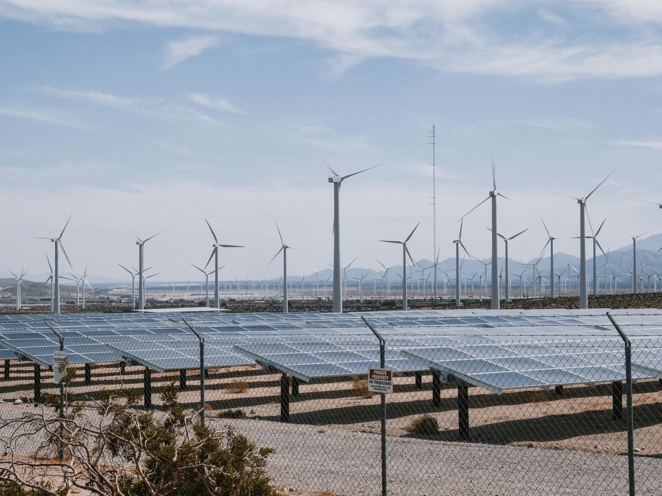
🌊 Environmental Monitoring and Climate Action
Perhaps no application of remote sensing carries greater importance for humanity’s future than environmental and climate monitoring. Satellites provide the only practical means of observing global-scale phenomena like ice sheet melting, sea level rise, deforestation, and atmospheric composition changes. These observations form the empirical foundation for climate science and inform policy decisions at international, national, and local levels.
Long-term satellite records extending back decades enable scientists to identify trends and distinguish human-caused changes from natural variability. The Landsat program, with continuous observations since 1972, has created an invaluable archive documenting five decades of planetary change. Similar long-term datasets from other satellite programs provide complementary perspectives on Earth’s evolving systems.
Tracking Deforestation and Forest Degradation
Forests play crucial roles in carbon storage, biodiversity conservation, and local climate regulation. Satellite monitoring systems now provide near-real-time alerts when deforestation occurs, enabling rapid response by enforcement agencies and conservation organizations. Programs like Global Forest Watch synthesize data from multiple satellites to create accessible platforms where anyone can monitor forest change anywhere on Earth.
Beyond outright deforestation, remote sensing can detect more subtle forms of forest degradation, including selective logging, fire damage, and drought stress. These assessments help prioritize conservation efforts and evaluate the effectiveness of forest management programs and protected area designations.
⚡ Disaster Response and Emergency Management
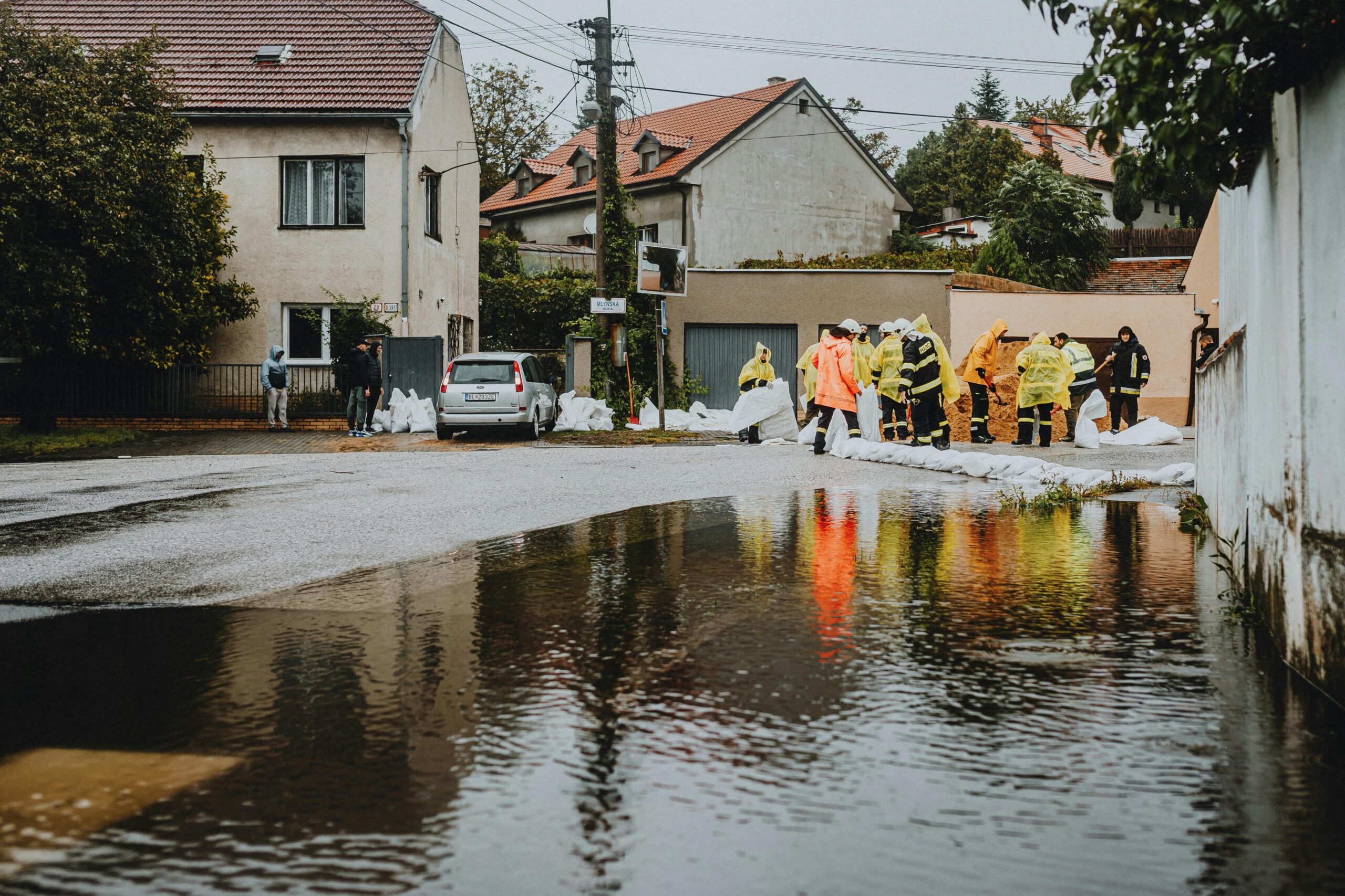
When disasters strike, timely and accurate information can mean the difference between life and death. Remote sensing provides emergency managers with critical situational awareness during floods, earthquakes, wildfires, hurricanes, and other catastrophic events. Satellite imagery captured before, during, and after disasters enables rapid damage assessment, guides rescue operations, and supports recovery planning.
Synthetic Aperture Radar (SAR) satellites prove particularly valuable for disaster response because they can image the Earth’s surface regardless of cloud cover or time of day. During major flood events, SAR data reveals the extent of inundation even when optical satellites cannot penetrate cloud cover, allowing emergency managers to understand which areas are affected and where resources should be deployed.
Predictive Capabilities and Early Warning Systems
Beyond reactive disaster response, remote sensing contributes to predictive early warning systems that can save lives by providing advance notice of impending disasters. Satellite monitoring of precipitation, soil moisture, and river levels feeds into flood forecasting models. Similarly, observations of drought conditions, vegetation dryness, and weather patterns support wildfire risk assessments.
Volcanic activity monitoring through thermal and gas emission sensors provides early warning of potential eruptions, while ground deformation measurements from radar interferometry can detect the subtle surface changes that precede seismic events or landslides.
🛣️ Infrastructure Monitoring and Asset Management
Maintaining critical infrastructure represents a major challenge for governments and private operators worldwide. Remote sensing offers cost-effective methods for monitoring the condition of roads, bridges, pipelines, power lines, and other assets spread across vast geographic areas. Regular satellite observations can detect changes that indicate deterioration, damage, or unauthorized encroachment.
Radar interferometry techniques can measure ground subsidence or structural movement with millimeter-level precision, providing early warning of potential infrastructure failures. This capability has proven valuable for monitoring everything from aging dams and levees to tunnels and high-rise buildings, enabling preventive maintenance that averts costly failures.
Optimizing Transportation Networks
Transportation planning benefits enormously from satellite data that reveals traffic patterns, road conditions, and infrastructure utilization. Analysts can identify bottlenecks, assess the impact of new developments on traffic flow, and prioritize investments in transportation infrastructure based on objective data rather than anecdotal evidence.
Maritime shipping routes, port operations, and supply chain logistics increasingly incorporate satellite data to optimize operations, reduce fuel consumption, and improve delivery times. Vessel tracking through automatic identification systems combined with satellite imagery provides comprehensive visibility into global shipping activities.
📱 Emerging Technologies and Future Possibilities
The remote sensing field continues to evolve rapidly, with new satellite constellations, sensor technologies, and analytical approaches constantly emerging. Small satellites, or CubeSats, have dramatically reduced the cost of launching and operating space-based sensors, enabling new business models and applications that were previously economically unfeasible.
Artificial intelligence and machine learning algorithms are revolutionizing how we extract insights from satellite imagery. Computer vision models can now automatically detect objects, classify land cover, and identify changes with accuracy approaching or sometimes exceeding human analysts. These capabilities enable processing of the massive data volumes generated by modern Earth observation satellites.
Integration with Other Data Sources
The true power of remote sensing emerges when satellite data is combined with other information sources. Internet of Things (IoT) sensors on the ground provide validation and complementary measurements that enhance satellite observations. Social media data, mobile phone signals, and citizen science contributions add human dimensions to purely physical measurements from space.
Digital twin technologies create virtual replicas of physical systems—cities, farms, forests, or entire regions—that integrate real-time satellite data with models and simulations. These digital twins enable stakeholders to test scenarios, predict outcomes, and optimize decision-making in ways that would be impossible or prohibitively expensive in the real world.
🔐 Addressing Challenges and Ethical Considerations
As remote sensing capabilities expand, important questions arise about privacy, security, and equitable access to technology. High-resolution commercial imagery raises concerns about surveillance and individual privacy, while the concentration of advanced satellite technology in developed nations creates potential inequalities in who benefits from these powerful tools.
Data quality and interpretation challenges persist, particularly when algorithms trained in one geographic context are applied elsewhere. Ensuring that insights derived from satellite data are accurate, unbiased, and appropriately contextualized requires ongoing attention from the remote sensing community.
Building Capacity and Promoting Access
International collaboration and capacity-building initiatives work to ensure that the benefits of remote sensing technology reach communities worldwide. Training programs, open-source software tools, and freely available data archives help level the playing field, enabling researchers and practitioners in developing countries to leverage satellite data for local challenges.
Partnerships between space agencies, academic institutions, non-governmental organizations, and private companies create ecosystems where knowledge and resources flow more freely, accelerating innovation and broadening the impact of Earth observation technologies.
🎯 Practical Steps for Getting Started with Satellite Data
For organizations and individuals interested in harnessing remote sensing capabilities, numerous pathways exist for getting started. Cloud-based platforms provide accessible entry points that require minimal technical infrastructure. Online courses and tutorials offer training in both the theoretical foundations and practical skills needed to work effectively with satellite imagery.
Starting with specific, well-defined use cases helps focus learning efforts and demonstrates value quickly. Whether monitoring land use changes around a particular city, tracking vegetation health on agricultural lands, or assessing water quality in local water bodies, concrete applications provide motivation and context for developing remote sensing expertise.
🚀 The Connected Future Powered by Space-Based Insights
Remote sensing and satellite data analysis have become indispensable tools for understanding and managing our complex, interconnected world. As technology continues to advance and data becomes more accessible, the potential applications will only expand. From precision agriculture that feeds a growing population sustainably to climate monitoring that guides our response to the defining challenge of our time, satellite observations provide the objective, comprehensive information needed for informed decision-making.
The integration of satellite data with artificial intelligence, IoT networks, and advanced modeling capabilities promises to unlock even greater insights in the years ahead. Organizations that develop capacity in remote sensing position themselves to leverage these powerful tools for competitive advantage, improved operations, and more effective mission delivery.
As we navigate the challenges of the 21st century—climate change, urbanization, resource management, and sustainable development—the view from space provides perspective and data that ground-based observation alone cannot match. By unlocking the power of remote sensing and satellite data analysis, we create the foundation for a smarter, more connected, and ultimately more sustainable world for all.